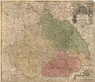
This is a collection of antique maps issued before 1850, created primarily by delimitations within the library. The entire collection of antique maps was registered in the electronic library catalogue and to a greater extent has also been digitized.
You may search within the collection using the shelfmark index of the catalogue of old prints (shelfmark beginning with "STMpa"). A substantial part of the collection has recently been digitised as part of the Europeana Travel project.


